Philatelic Geography
|
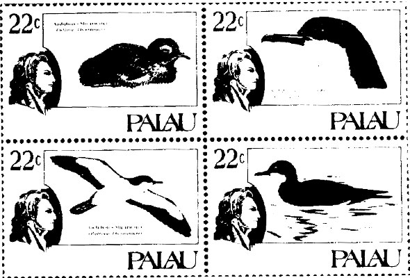
Palau lies in the Caroline Islands, 495 miles (800 km) to the east of the Philippines. It is made up of over 200 islands' but only eight are permanently inhabited. The forested islands of the north have been formed by volcanoes. Tapioca, coconuts, fruit and vegetables are grown in their fertile soil. Southern Palau is made up of low lying coral islands. Palau’s main exports are copra and tuna, but tourism is becoming increasingly important. From 1886, Palau was ruled by Spain. It was sold to Germany in 1899 and passed into Japanese hands during World War I. after 1947; it was governed by the United States of America on behalf of the United Nation. It became an independent republic in 1994. |
 Palau
Palau|
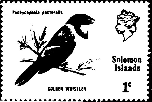
The Solomon Islands The Solomon Islands form a 930-mile (1.500-km) long archipelago, or island chain, in a hot and humid region of the southwest Pacific Ocean. The larger islands were formed by volcanoes and are covered in thick rain forests, which are home to several species of large bird-wing butterflies. The smaller islands are low-lying coral reefs. The northwest Solomon islands belong to Papua new guinea, but the southern ones make up an independent nation. The largest of the islands is Guadalcanal, where Honiara, the capital and largest city is situated. The islanders live by fishing, growing root vegetable, and raising pigs and chickens. Over 80 dialects are spoken in the Solomon Islands, but most people also speak a version of English called pidgin. The majority of the inhabitants live in small. Scattered villages along the coasts of the larger islands. The Solomon Islands were first settled about 6,000 years ago by people who came from Papua New Guinea, but they were not named until Spanish explorers arrived in the 1500s. Britain ruled the islands from1893. In World War I l. a number of fierce battles took place here between the United States and Japanese forces. In 1978, the Solomon Islands became independent.
|
Recent Comments